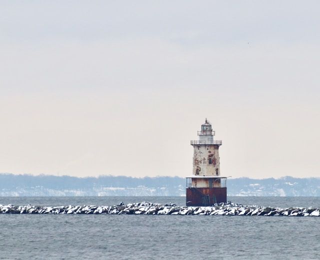
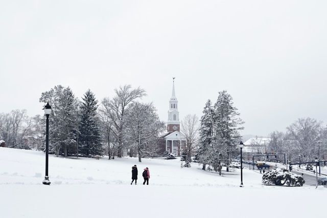
A developing coastal storm looks set to bring the season’s first accumulating snow to parts of Connecticut on Tuesday. The higher elevations of northern Litchfield County will probably feel the greatest impact.
Most communities from Hartford to New Haven, Bridgeport, and Stamford will get mostly rain. Folks in North Canaan, Norfolk, Goshen, and Torrington should get ready for a few inches of wet, early-season snow and slick roads.
Explore top-rated stays with no booking fees and instant confirmation. Your dream trip starts here!
Start Exploring Now
First Measurable Snow Targets the Litchfield Hills
The National Weather Service has issued a winter weather advisory from 7 a.m. Tuesday through 1 a.m. Wednesday for parts of northern Litchfield County. This includes towns like North Canaan, Norfolk, Goshen, and Torrington, where forecasters see the most wintry impact coming.
Colder air in these higher spots will stick around longer, helping snow to pile up before it switches to rain. Even just a couple inches can make travel tricky, especially on untreated back roads and those winding routes through the Litchfield Hills.
Snow Accumulation and Elevation Differences
Current forecasts call for 1 to 4 inches of snow in the advisory area. The totals will hinge a lot on elevation and how quickly warmer air moves in overhead.
Hilltops and ridgelines near Norfolk and Goshen, for example, stand a much better chance of seeing some accumulation than the valleys and city centers. In other parts of Connecticut, from Waterbury and New Britain to Norwich and New London, there’s little to no snow expected.
If any flakes do fall outside the northwest hills, they’ll be brief and probably disappear fast as rain takes over.
Timeline: When the Storm Arrives in Connecticut
The system will roll in from the southwest, bringing clouds and some patchy precipitation to western Connecticut early Tuesday. Timing and type of precipitation will shift a bit by location, but most of the state should see wet weather by midday.
Morning Start, Evening Finish
Snow and rain showers will develop Tuesday morning and move from Fairfield County northeast toward Hartford County and the Quiet Corner. At first, dry air near the ground might cause the first flakes to evaporate before they land—a process meteorologists call virga.
That could make the storm seem slow to start, but by late morning into midday, precipitation will likely reach the whole state. For a lot of inland towns—including Danbury, parts of West Hartford, and spots across central Connecticut—the storm may start as wet snow or a mix before flipping to plain rain.
Along the shoreline, from Milford to Groton, the air will be warm enough that it’s just rain from the get-go.
Rainfall Totals and Coastal Impacts
As the coastal storm strengthens offshore, warmer air will flood in, especially at lower elevations and along I-95. Most of the state will see snow change to rain pretty quickly, so snow totals outside the northwest hills will stay low.
Up to an Inch of Rain for Much of the State
Rainfall could reach around one inch for a big chunk of Connecticut, including cities like Hartford, New Haven, and Bridgeport. Widespread flooding isn’t expected, but ponding on roads and poor visibility in heavier showers could slow down the afternoon and early evening commute.
By Tuesday evening, the storm should slide east-northeast, taking the steadiest rain with it. Showers will fade from west to east, leaving behind wet roads and colder air moving in overnight.
Colder Air Arrives for the Rest of the Week
Once this system moves out, a push of colder, drier air will settle over Connecticut and stick around into the weekend. There’s no big storm right behind this one, but the cooler pattern is a reminder that winter’s getting closer for everyone from Stamford to Torrington.
Travel and Safety Tips for the Season’s First Snow
The first snowfall of the season often catches drivers off guard. Sometimes, even road crews aren’t quite ready for it.
Just a coating of wet snow can make things tricky out there. Roads get hazardous fast, especially in the advisory areas of northern Litchfield County.
Residents should keep the following in mind:
This coastal storm probably won’t be a blockbuster winter event. Still, it’s the first measurable snow for the Litchfield Hills and a good soaking rain for the rest of Connecticut as we settle into the colder season.
Here is the source article for this story: Shift in winter storm changes Connecticut snow predictions for Tuesday
Find available hotels and vacation homes instantly. No fees, best rates guaranteed!
Check Availability Now

