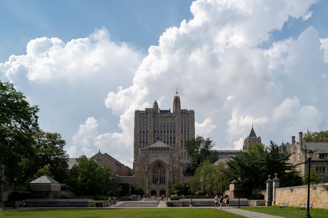
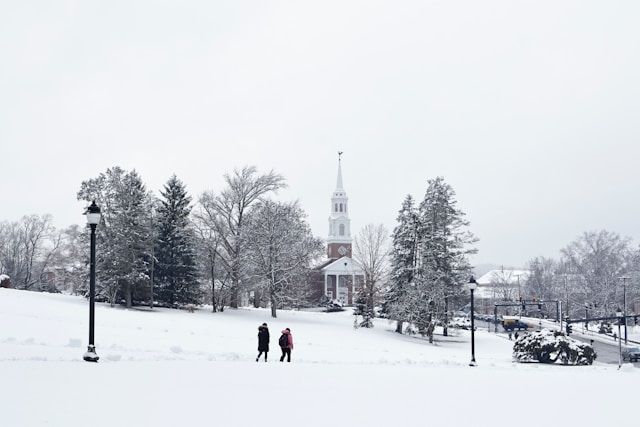
Connecticut’s gearing up for a wild stretch of weather. Meteorologists are tracking a system that could bring strong, maybe even severe, thunderstorms early Monday morning.
After gusty winds and overnight showers, the week kicks off with a mix of storms, a little sunshine, and then another round of rain. Temperatures are set to drop sharply after all that.
Explore top-rated stays with no booking fees and instant confirmation. Your dream trip starts here!
Start Exploring Now
Folks from Stamford to Norwich, and New Haven to Torrington, should brace for shifting conditions. It could mess with commutes and outdoor plans, so keep an eye out.
Storms Expected to Arrive Early Monday
The main line of storms looks like it’ll hit Connecticut between 3 a.m. and 10 a.m. Monday. Early risers might hear thunder before heading to work or school.
Steady winds from Sunday night will hang around into the morning, with gusts possibly peaking between 35 and 40 miles per hour. That’s enough to make driving a pain and could knock down a few tree limbs, especially where the ground’s already soaked.
Cold Front Could Intensify Storm Potential
This system comes with a strong cold front, which could turn a few storms severe. Hartford, Danbury, and Bridgeport are in line for some of the strongest gusts as the front moves through.
It’s not a slam dunk for widespread severe weather, but it’s definitely a setup to watch. Stay tuned to local alerts and keep an eye on the sky.
Improvement Briefly on Tuesday
Once Monday morning’s storms move out to sea, Connecticut will get a breather. Tuesday looks pleasant and dry, with a good dose of sunshine from Waterbury to Mystic.
This break won’t last long, though. The next round of unsettled weather is on the way late Tuesday night.
Another Rain Event Midweek
Rain returns after sunset on Tuesday and sticks around into Wednesday. These showers will drag cooler air with them, so expect a real drop in temperatures by midweek.
Even shoreline spots like New London and Westport will notice the chill. Highs will only reach the 50s in most places.
Temperature Trends and What to Expect Later in the Week
Once Wednesday’s showers wrap up, Connecticut’s in for a crisp, autumn-like feel. This is a big shift from the recent mild stretch.
- Daytime highs will probably only hit the low to mid-50s in towns like Enfield, Meriden, and Litchfield.
- Mornings turn colder, and some interior valleys might even see frost by Thursday or Friday.
- Things settle into more typical fall weather as the weekend approaches.
Safety Precautions During Strong Storms
With gusty winds and storms possible early Monday, here are a few quick safety reminders for Connecticut residents:
- Bring in or tie down outdoor furniture, decorations, and trash bins to avoid wind damage.
- Charge your phone and other devices in case the power goes out.
- If you’re driving during the storm, watch for debris—especially in wooded spots like Mansfield and Redding.
Local emergency crews from Southington to Old Saybrook are urging everyone to stay on top of weather alerts from the National Weather Service. Don’t tune them out—these updates can make a real difference.
Looking Ahead
Another storm system is on the way for midweek, so Connecticut’s weather will bounce between active and calm spells through the first half of the week. Monday starts off with early morning storms that might mess with travel and any outdoor plans you had in mind.
Tuesday looks much nicer, with a sunny break before rain sneaks back in that night. By Thursday, cooler air should settle in, giving the region that late-fall feel we all expect around this time.
Whether you’re in the buzz of New Haven, enjoying the Greenwich shoreline, or tucked away in Kent’s hills, you’ll probably notice just how fast New England weather can flip. Honestly, it never hurts to keep an eye on the forecast and be ready for whatever comes next.
—
If you’d like, I can also provide **local SEO keyword suggestions** relevant to Connecticut towns and weather so your blog ranks higher in search results. Would you like me to do that?
Here is the source article for this story: Warmer and breezy for Sunday before rain into early Monday
Find available hotels and vacation homes instantly. No fees, best rates guaranteed!
Check Availability Now

